
Survey data and terrain models
Mapping, LiDAR, and Terrain Survey
Capture terrain, corridor, and site data with UAV and payload configurations built around practical field work.
Start this mission brief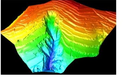
Mission signal
LiDAR output
Mission signal
Terrain data
Mission signal
Survey workflow
Inputs needed
Define the operating context.
- Area or corridor boundary
- Terrain complexity
- Required output format
- Ground control and accuracy needs
System mapping
Map the stack before the model.
- UAV platform
- LiDAR or mapping payload
- Terrain data workflow
- Report-ready deliverables